Narrated audio driving tour
Columbia Gorge Waterfalls
Oregon, USA
- Stories on the way
- 20
- Distance
- 36 mi
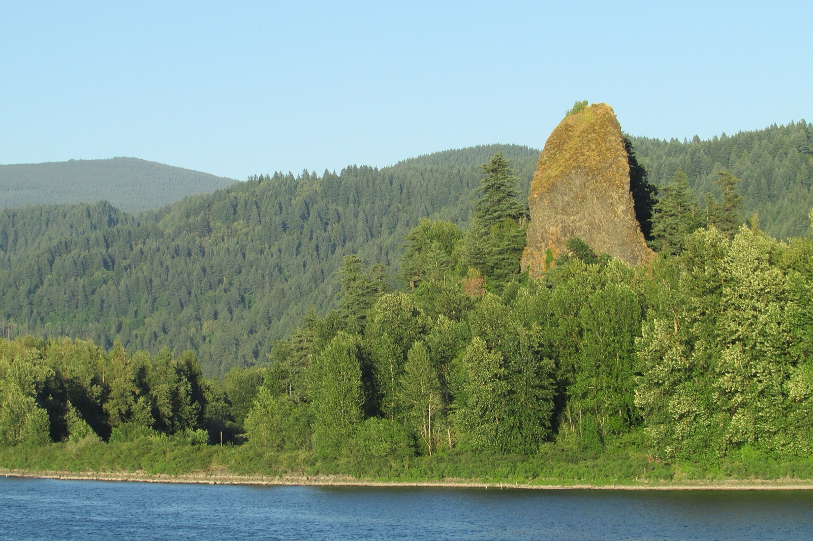
Photo: John Fowler from Placitas, NM, USA · CC BY 2.0 · Wikimedia Commons
Hear the narrator
One real story from this drive, in the voice that rides along — the same one your car hears when you reach the spot.
Rooster Rock State Park
0:00 / 0:26
Columbia Gorge Waterfalls is a narrated audio driving tour through Oregon, USA — 36 miles end to end. The route strings together 20 stops — Columbia Gorge Waterfalls — start, Columbia Gorge Waterfalls — arrival and Rooster Rock State Park among them — each with a story that plays automatically as you reach it. Download the drive in Getaways and it rides along offline, narrating the road even where the signal drops.
Every stop on the route
20 places, 20 stories — each one starting itself as you arrive. Here's what you'll pass; the narration rides along in the app.
- 1
Columbia Gorge Waterfalls — start
- 2
View Point Inn
More on Wikipedia - 3
Corbett, Oregon
More on Wikipedia - 4
Reed Island State Park
More on Wikipedia - 5
Rooster Rock State Park
More on Wikipedia - 6
Bridal Veil Falls (Oregon)
More on Wikipedia - 7
Prindle, Washington
More on Wikipedia - 8
Multnomah Falls
More on Wikipedia - 9
Oneonta Gorge
More on Wikipedia - 10
Dodson, Oregon
More on Wikipedia - 11
Warrendale, Oregon
More on Wikipedia - 12
John B. Yeon State Scenic Corridor
More on Wikipedia - 13
Bonneville, Oregon
More on Wikipedia - 14
Sheridan State Scenic Corridor
More on Wikipedia - 15
Bridge of the Gods (modern structure)
More on Wikipedia - 16
Fort Raines
More on Wikipedia - 17
North Bonneville, Washington
More on Wikipedia - 18
Pierce National Wildlife Refuge
More on Wikipedia - 19
Beacon Rock State Park
More on Wikipedia - 20
Columbia Gorge Waterfalls — arrival
Good to know before you go
View Point Inn
There's no roadside pullout worth using here — parking is on the inn's own property when it's open to guests and diners. Treat it as a place you drive into, not a shoulder you stop on.
Rooster Rock State Park
Rooster Rock has a large day-use lot down by the river, reached by its own exit off the highway. On hot weekends it fills, so arrive early or plan to move on to the falls.
Bridal Veil Falls (Oregon)
A modest lot at the Bridal Veil trailhead fills quickly on nice days. If it's full, it's better to continue east and catch it on the way back than to circle the narrow road.
Multnomah Falls
The historic-highway lot at the base is small and fills early, and a larger lot sits off the freeway below. Both overflow on warm weekends, so come early, come late, or be ready to park and walk in.
Oneonta Gorge
Parking near Oneonta is limited to small roadside pullouts that fill fast between the bigger falls. If they're taken, it's safer to move on than to stop in the travel lane hunting for a gap.
John B. Yeon State Scenic Corridor
A small trailhead lot at the Yeon corridor fills on nice weekends. If it's full, continue on rather than parking where you'd block the road or the highway trail.
Bridge of the Gods (modern structure)
There's no stopping on the bridge itself, but the town of Cascade Locks just off it has lots and a riverfront park where you can pull in and look back at the span.
Take Columbia Gorge Waterfalls with you.
Download it once and someone in the car knows things the whole way — narration, map and stops, offline, so it keeps talking where the signal drops. Getting there is the getaway.
Plan this with friends
Every friendship dies the same death: the group chat. Start a trip instead — send one link, and everyone votes on the day and sees the same schedule, from the thread, on any phone, with nothing to install. When the weekend lands, this drive is already loaded, and every car of the caravan hears the same narrator.
Start a getaway in the app →