Narrated audio driving tour
Highway 41 to Yosemite Valley
California, USA
- Stories on the way
- 18
- Distance
- 61 mi
- Drive time
- 1 hr 30 min
Hear the narrator
One real story from this drive, in the voice that rides along — the same one your car hears when you reach the spot.
Corlieu Falls
0:00 / 0:29
Highway 41 to Yosemite Valley is a narrated audio driving tour through California, USA — about 1 hour 30 minutes and 61 miles end to end. The route strings together 18 stops — Oakhurst, CA, Bass Lake, California and Fish Camp, CA among them — each with a story that plays automatically as you reach it. Download the drive in Getaways and it rides along offline, narrating the road even where the signal drops.
Every stop on the route
18 places, 18 stories — each one starting itself as you arrive. Here's what you'll pass; the narration rides along in the app.
- 1
Oakhurst, CA
More on Wikipedia - 2
Courtney Fire
More on Wikipedia - 3
Yosemite Forks, California
More on Wikipedia - 4
Bass Lake, California
More on Wikipedia - 5
Corlieu Falls
More on Wikipedia - 6
Sugar Pine, California
More on Wikipedia - 7
Yosemite Mountain Sugar Pine Railroad
More on Wikipedia - 8
Fish Camp, CA
More on Wikipedia - 9
Mariposa Grove of Giant Sequoias
More on Wikipedia - 10
Wawona
More on Wikipedia - 11
Alder Creek (Mariposa County, California)
More on Wikipedia - 12
Chinquapin, California
More on Wikipedia - 13
Wildcat Falls
More on Wikipedia - 14
Wawona Tunnel
More on Wikipedia - 15
Silver Strand Falls
More on Wikipedia - 16
Bridalveil Fall
More on Wikipedia - 17
Yosemite Valley
More on Wikipedia - 18
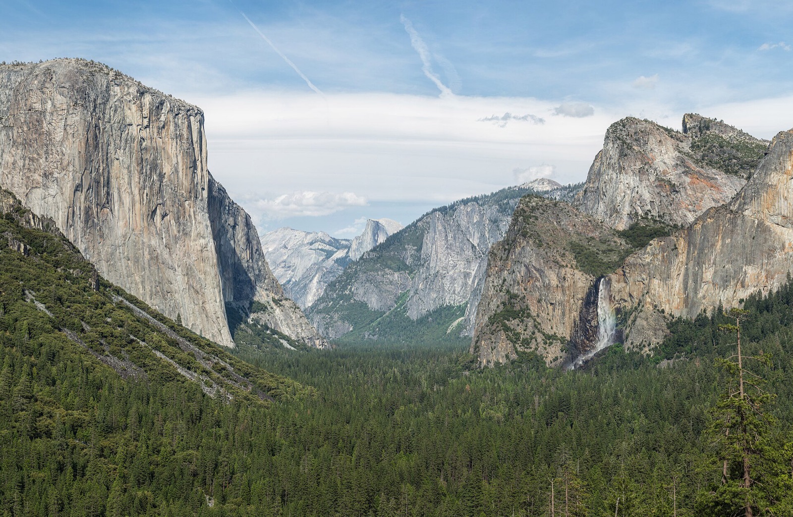
Tunnel View, Yosemite Valley
More on Wikipedia
Good to know before you go
Oakhurst, CA
This is a real town, so parking is the easy part — gas stations, a market, and coffee stops all have lots right off the highway. Pull into any of them; it is the last effortless place to leave the car before the climb.
Bass Lake, California
Aim for one of the day-use picnic areas around the shore rather than the road shoulder; several are accessible. If you are putting in a boat, the Wishon site at the south end is the public ramp.
Corlieu Falls
Do not try to see this from the car — there is nothing to see from Highway 41. Park at the marked Lewis Creek trailhead near Sugar Pine and go in on foot; the falls are down the trail, not off the road.
Yosemite Mountain Sugar Pine Railroad
The narrated Logger steam train is the classic one-hour trip. If you catch a plume of smoke rising through the pines from the highway, that's the real thing, not a trick of the light.
Mariposa Grove of Giant Sequoias
You can't drive to the sequoias. Park at the Mariposa Grove Welcome Plaza near the South Entrance, about 300 spaces, then ride the free shuttle in. The lot can fill by late morning, so this isn't a stop to save for midday.
Wawona
For the Wawona Meadow and its easy loop, park near the historic Wawona Hotel and pick up the trail from there. Wawona strings out along the road, so watch for the hotel and store turnoffs rather than one central lot.
Wawona Tunnel
There's nowhere to stop inside the tunnel itself. The pullouts and lots wait at the far, east end, where you spill out at Tunnel View, so hold your speed and keep rolling until then.
Bridalveil Fall
A parking lot sits off Wawona Road, with roadside parking on Southside Drive, and both feed the same short paved trail down to the base of the fall.
Yosemite Valley
Day-use parking in the valley fills early. Arrive before 9 am or the lots are usually full, and once you've found a space, leave the car there, because you won't find another.
Tunnel View, Yosemite Valley
There's parking on both sides of the road here. From the lot, the viewpoint is only a short paved walk, so short you can nearly take in the whole scene before you're out of the car.
Take Highway 41 to Yosemite Valley with you.
Download it once and someone in the car knows things the whole way — narration, map and stops, offline, so it keeps talking where the signal drops. Getting there is the getaway.
Plan this with friends
Every friendship dies the same death: the group chat. Start a trip instead — send one link, and everyone votes on the day and sees the same schedule, from the thread, on any phone, with nothing to install. When the weekend lands, this drive is already loaded, and every car of the caravan hears the same narrator.
Start a getaway in the app →