Narrated audio driving tour
Mount Diablo Summit Road
California, USA
- Stories on the way
- 12
- Distance
- 17 mi
- Drive time
- 1 hr
Hear the narrator
One real story from this drive, in the voice that rides along — the same one your car hears when you reach the spot.
Diablo
0:00 / 0:30
Mount Diablo Summit Road is a narrated audio driving tour through California, USA — about 1 hour and 17 miles end to end. The route strings together 12 stops — Blackhawk Museum, Mount Diablo Summit and Diablo among them — each with a story that plays automatically as you reach it. Download the drive in Getaways and it rides along offline, narrating the road even where the signal drops.
Every stop on the route
12 places, 12 stories — each one starting itself as you arrive. Here's what you'll pass; the narration rides along in the app.
- 1
Blackhawk Museum
More on Wikipedia - 2
Blackhawk
More on Wikipedia - 3
Hemme Hills
More on Wikipedia - 4
Diablo
More on Wikipedia - 5
The Athenian School
More on Wikipedia - 6
South Gate
- 7
Rock City
- 8
Sentinel Rock
- 9
Juniper Campground
- 10
Devil's Elbow & the Mary Bowerman Trail
More on Wikipedia - 11
Mount Diablo Summit
More on Wikipedia - 12
Mount Diablo meridian
More on Wikipedia
Good to know before you go
Blackhawk Museum
Large free lots serve the whole plaza and the museum entrance is signed from them. Weekends are busy with mall traffic rather than museum traffic.
Blackhawk
Street parking inside the community is for residents and their guests. Use the plaza lots back at the start.
Hemme Hills
Watch the oaks. When the round-crowned valley oaks give way to darker, tougher live oaks, you have gained real elevation.
Diablo
None — the whole village is residential with no visitor parking at all.
The Athenian School
None for visitors — this is a working school campus with controlled access.
South Gate
Do not park at the kiosk itself. The first proper pullouts and lots are a few minutes above it.
Rock City
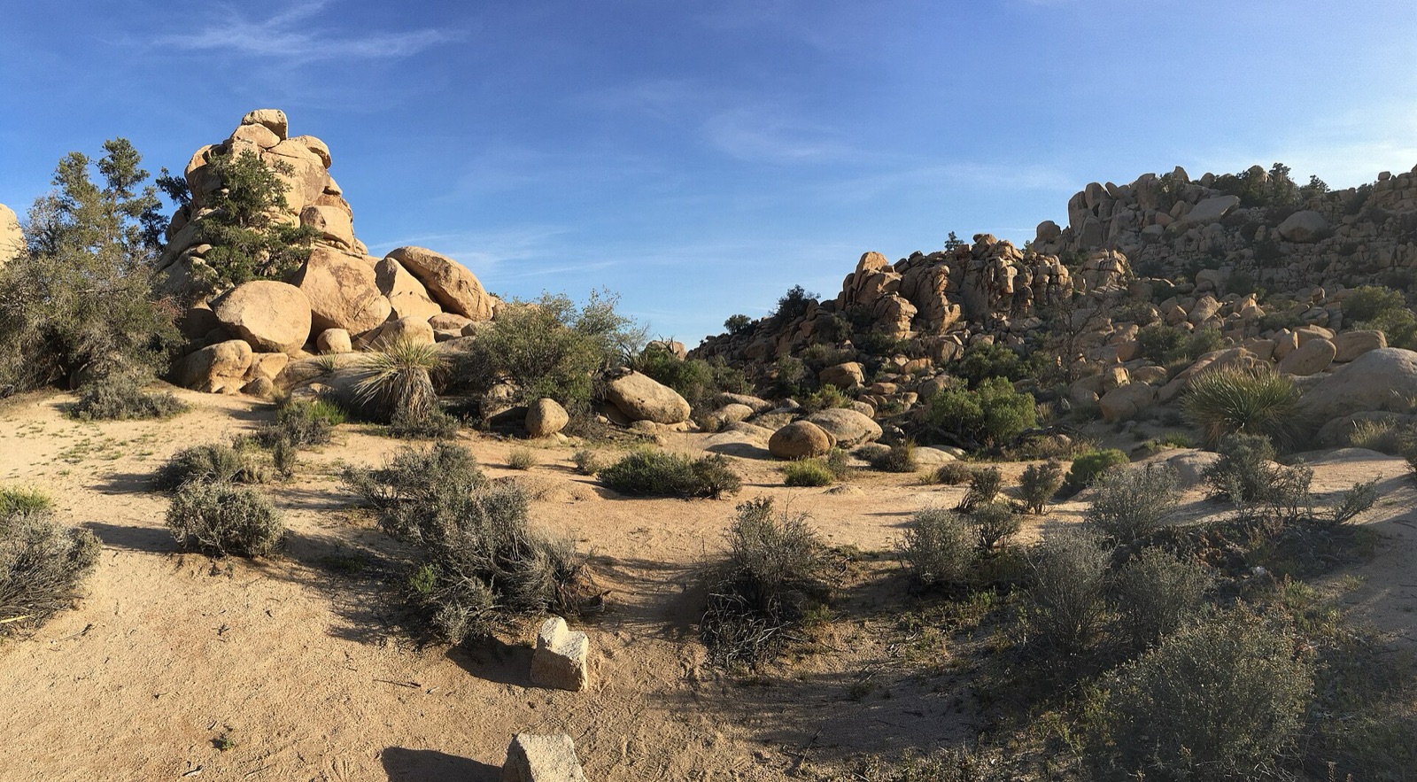
Small paved lots serve the picnic area and the outcrops, and they fill on spring weekends. Do not park on the road margin; it is too narrow.
Sentinel Rock
Use the Rock City lots and walk across; the rock itself has no parking of its own.
Juniper Campground
Campground parking is for registered campers. Day visitors should carry on to the summit lots rather than turning in.
Devil's Elbow & the Mary Bowerman Trail
A small pullout at the trailhead takes only a handful of cars and is often full. If it is, continue to the summit and walk back down to the trail.
Mount Diablo Summit
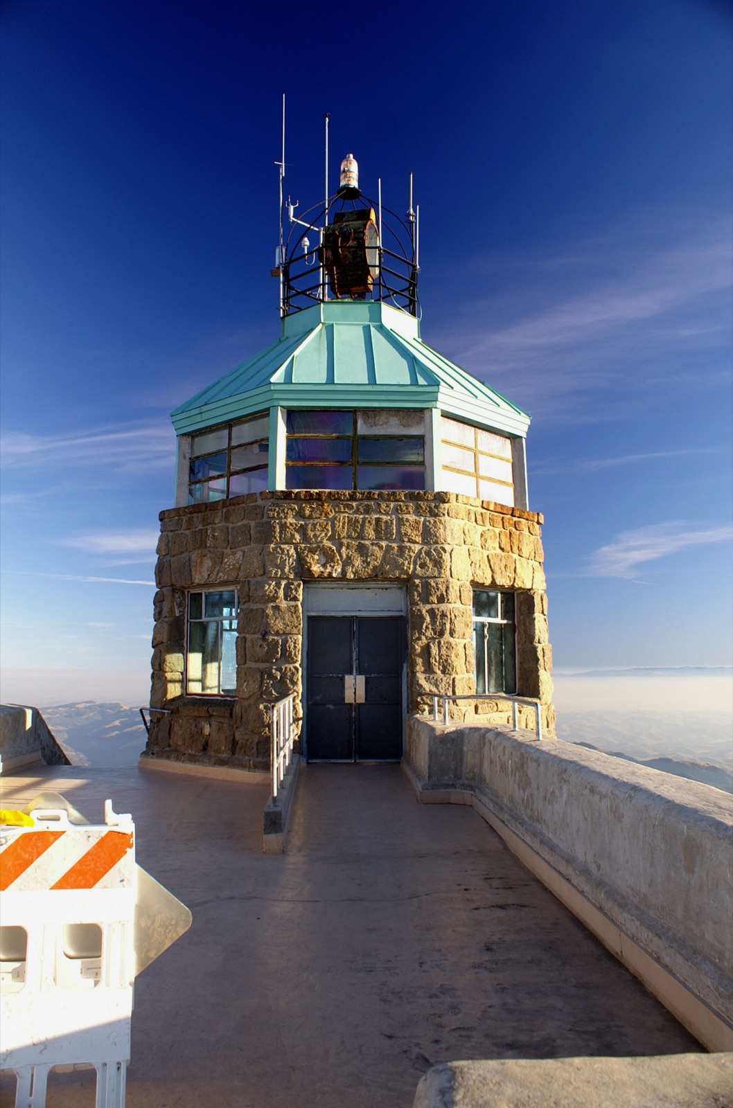
The summit lot is small and loops one way. On clear weekends it fills and cars queue below; the lower lot adds a short uphill walk.
Mount Diablo meridian
Use the summit lot; this is a walk of a few steps from it.
Take Mount Diablo Summit Road with you.
Download it once and someone in the car knows things the whole way — narration, map and stops, offline, so it keeps talking where the signal drops. Getting there is the getaway.
Plan this with friends
Every friendship dies the same death: the group chat. Start a trip instead — send one link, and everyone votes on the day and sees the same schedule, from the thread, on any phone, with nothing to install. When the weekend lands, this drive is already loaded, and every car of the caravan hears the same narrator.
Start a getaway in the app →